
Establish the whole property
For a home set back from the road, an exterior sequence can show the approach, main elevation and rear living area. When appropriate, aerial photography adds context that a ground-level view cannot provide.
OHIO PROPERTY MEDIA
Give the home room to breathe without losing the details.
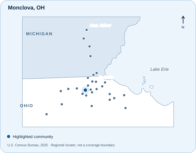
Locator maps show communities served, not office locations or guaranteed service boundaries.
Monclova Township’s recreation network includes Keener Park and the Wabash Cannonball Trail. For property marketing, the useful story is the one on the lot: how the home sits on its site, where indoor living opens outside and which features deserve a closer look.
For a home set back from the road, an exterior sequence can show the approach, main elevation and rear living area. When appropriate, aerial photography adds context that a ground-level view cannot provide.
Large rooms still need a clear visual hierarchy. Prepare the main living area, kitchen and primary suite first, then identify secondary spaces that explain flexibility, storage or entertaining potential.
Community context is provided for orientation. Nearby public amenities are not represented as features, views or access rights included with a particular property.
Start with photographs, then add the tools that answer useful questions about the layout, setting or presentation. Services and appointments are confirmed for the actual address.
High-end, tripod-based HDR photography includes AI-assisted blending and human editing. An optional hand-blended upgrade is available; review the current service details before choosing.
Explore HDR photographyProfessionally edited drone photographs can explain the site and surrounding context. Flights depend on the exact address, airspace, weather, permissions and safe operating conditions.
Explore aerial photographyHelp viewers connect rooms, levels and circulation with a floor plan. Review the available options and measurement information to choose the right coverage for your property.
Explore floor plansCompare Zillow 3D Home, iGUIDE and Matterport options for an interactive view of the property. Matterport work uses a customer-owned account. Confirm the option and address when planning.
Compare 3D tour optionsTurn property photographs into an additional marketing format. This service is created from still images; it does not include an on-site filmed agent walkthrough.
Explore AI property videoDigitally furnished images can help explain an empty room’s potential. Keep the original property condition clear and disclose altered imagery appropriately in your marketing.
Explore virtual stagingExamples from the TREM419 portfolio. These images show our approach and are not presented as photographs taken in every community listed here.
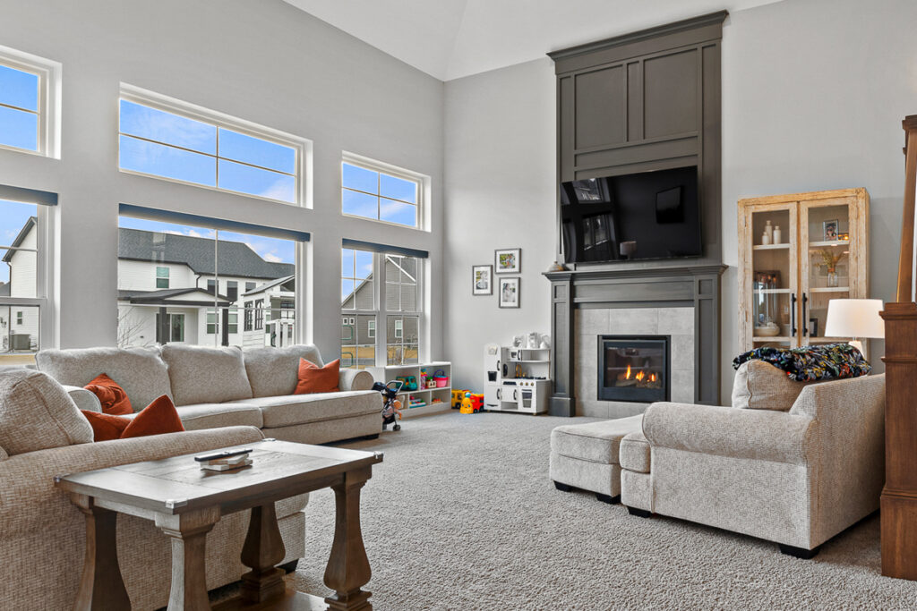
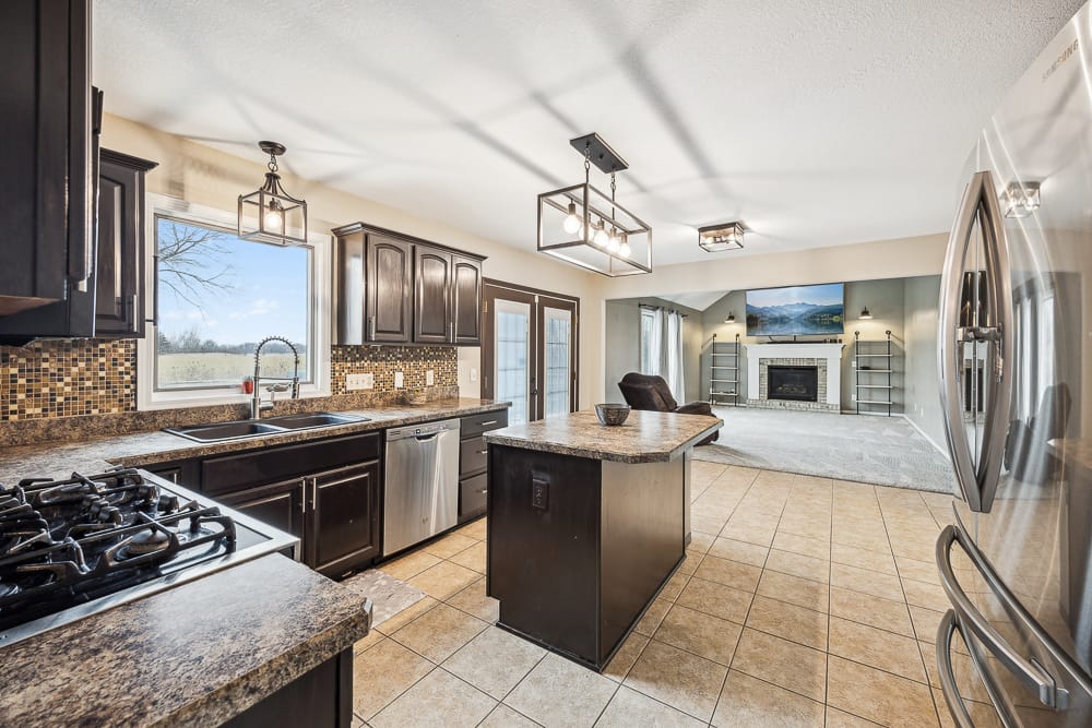
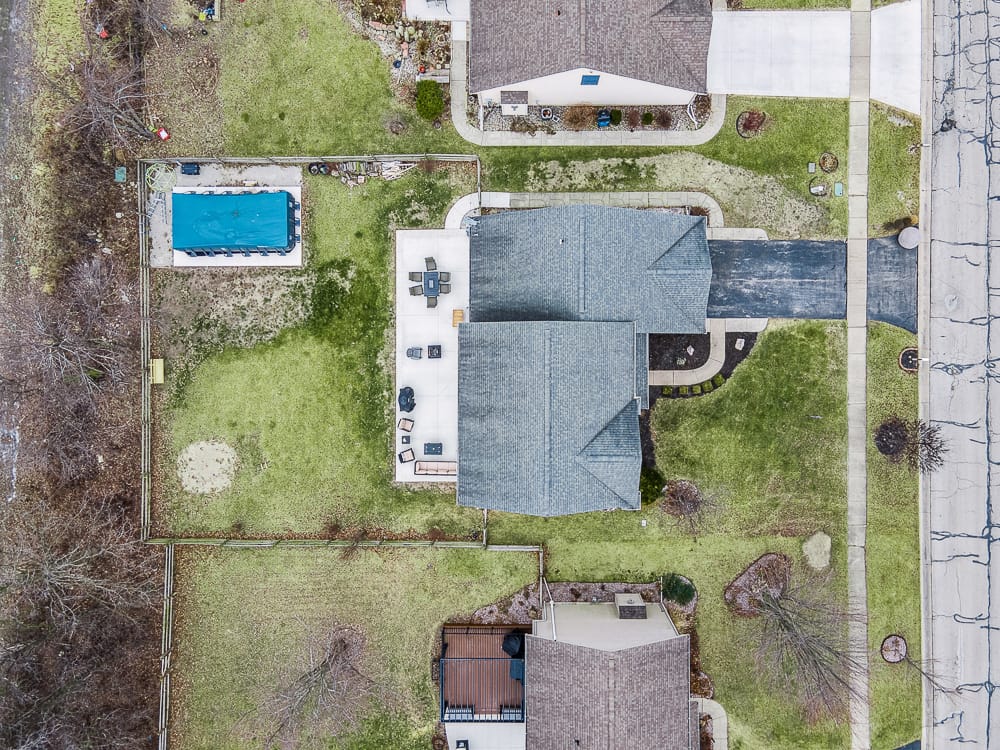
Share the full address, important outdoor features and any separate structures to be included. If a boundary overlay is requested, provide reliable reference information; a marketing graphic is not a survey or a legal boundary determination.
Have the full street address, property type, requested coverage and access instructions ready. Review current services, pricing and terms before confirming your shoot.
Serving a community does not mean every date, service combination or drone flight is automatically available. For outer markets, confirm travel details and the appointment before coordinating occupants or other contractors.
How the process works Read the service terms